|
||||||||||||||||||||||||||||||||||||||||||||||||
| Thalamorph Rally 2010 | ||||||||||||||||||||||||||||||||||||||||||||||||
|
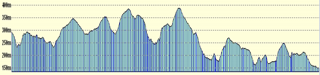
Route Card 3 (Heights around Hamsterley) |
||||||||||||||||||||||||||||||||||||||||||||||||
| ||||||||||||||||||||||||||||||||||||||||||||||||
|
|
||||||||||||||||||||||||||||||||||||||||||||||||
| Thalamorph Rally 2010 | ||||||||||||||||||||||||||||||||||||||||||||||||
|
Route Card 3 (Heights around Hamsterley) |
||||||||||||||||||||||||||||||||||||||||||||||||
| ||||||||||||||||||||||||||||||||||||||||||||||||
|